
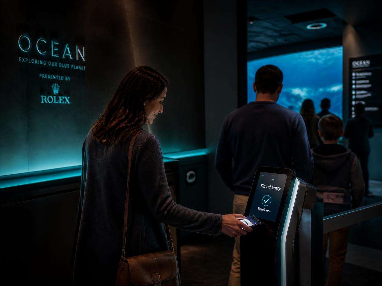
WayTaps — Tap-to-explore signage, tap maps, and smart wearables.
WayTaps is a phygital wayfinding system — tap maps, signage, and wearables that let visitors explore by tapping their phone and let operators see exactly where they went.
Who it's for
- Cities, parks, and downtowns
- Shopping centers and retail districts
- Festival grounds, fairs, and expos
- University campuses and museums
What it does
- NFC tap maps, signage, and totems — no app required
- Smart wearables embedded in branded merch
- Real-time path analytics across zones, tenants, or exhibits
- Plug-in to Passportage for stamps and SendCard for souvenirs
Three steps, then it runs.
Map the property
We design and produce the signage, totems, and tap points.
Visitors tap
A tap loads a localized web view — directions, deals, stories.
You see paths
Every tap is a signal feeding live foot-traffic analytics.
- Lower wayfinding complaint volume
- Higher cross-zone visit rate
- First-party path data without surveillance hardware
Common questions about WayTaps.
Do guests need an app?+
No — taps open a web view. Apps are optional for power users and rewards.
How accurate is the path data?+
Tap-level accuracy at every WayTap location, with optional Bluetooth and geofence enrichment.
Can sponsors brand tap points?+
Yes — sponsor zones, branded merch, and co-branded experiences are supported.
WayTaps is one arm of the platform.
Each product stands on its own. Chained together they share one guest record — which is where the insight competitors can't match comes from.
See what this looks like in the real world.
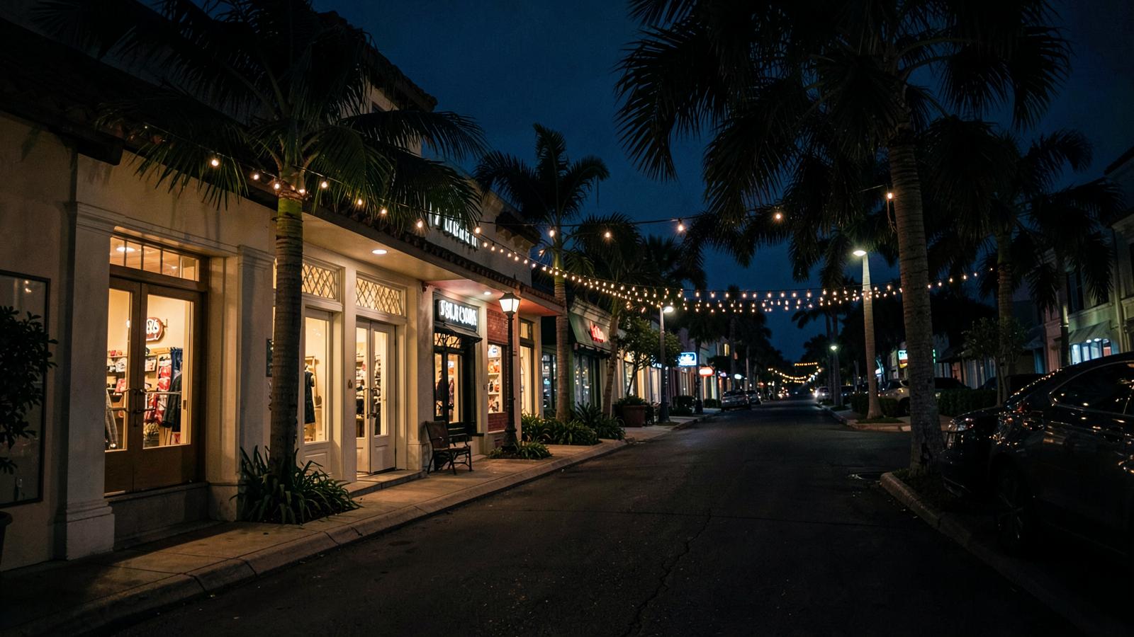
Safety Harbor Chamber
A 50+ location digital passport turning shop-local promotion into a measurable community experience.

Estacada Tourism
One destination. Multiple connected experiences — murals, history, Bigfoot, Christmas and community events.
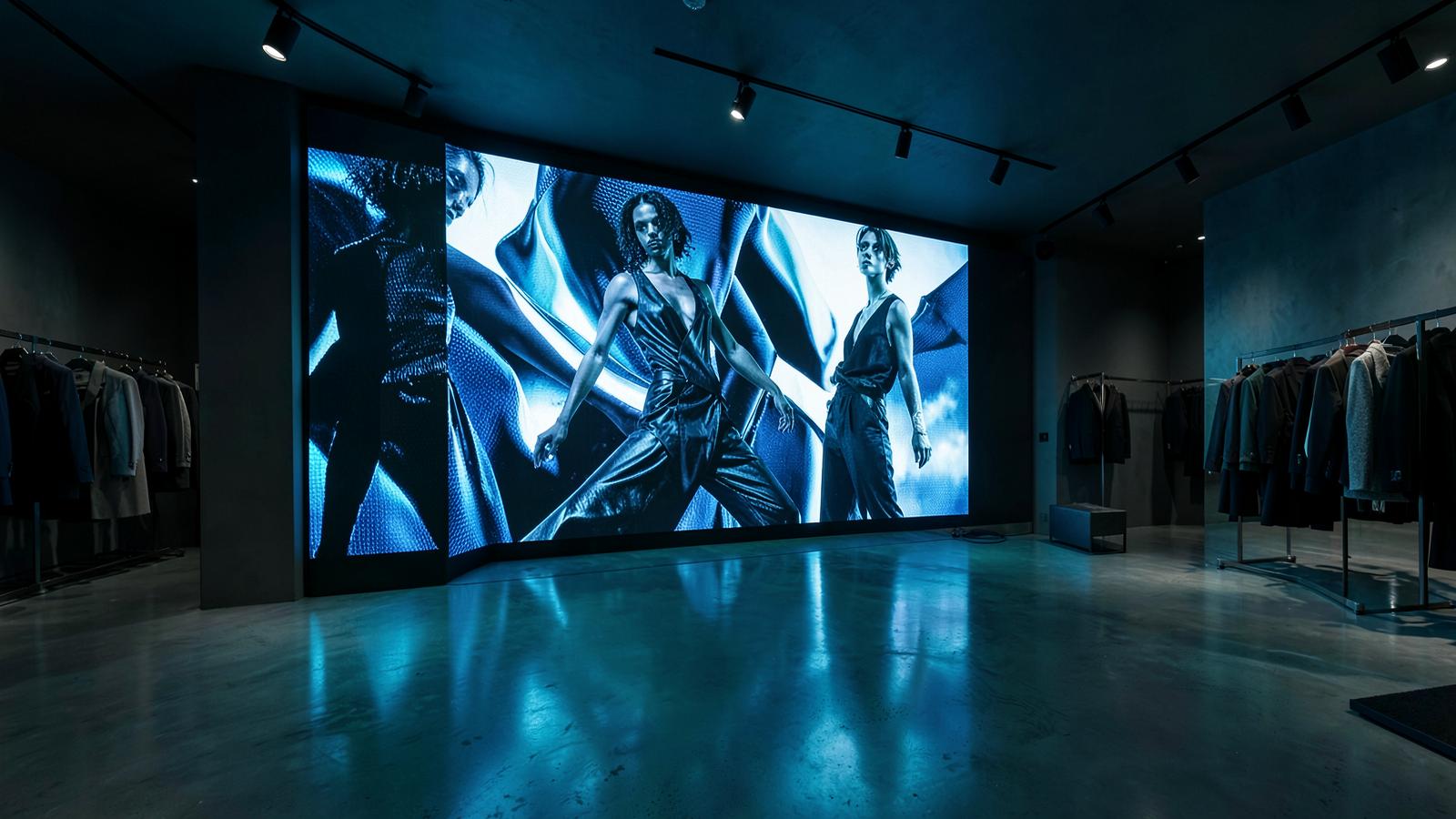
ZARA
Large-format digital display infrastructure turned retail walls into centrally managed brand experiences.
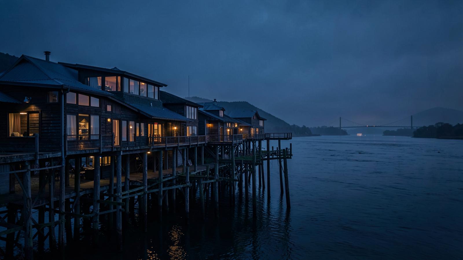
Cannery Pier Hotel
Guest connectivity, entertainment, reservation and wayfinding technology for an iconic Astoria hotel.
See WayTaps on your data and your goals.
Book a 30-minute discovery call. We'll walk through your use case and show WayTaps live.